Facilities on the map
Factories, warehouses, distribution centers, truck depots and customer sites, placed by clicking the map, with docks, parking bays and working hours (for reference).
Resources
The network is the set of places your trucks visit and the roads between them. In Majestic Intelligence each facility stands at real coordinates on the map, with its docks and working hours, and each route is calculated along a road network built from OpenStreetMap.
The problem
Distances and driving times kept in a spreadsheet drift away from reality, and nobody can see at a glance how the sites relate to each other or which routes the fleet depends on.
The value
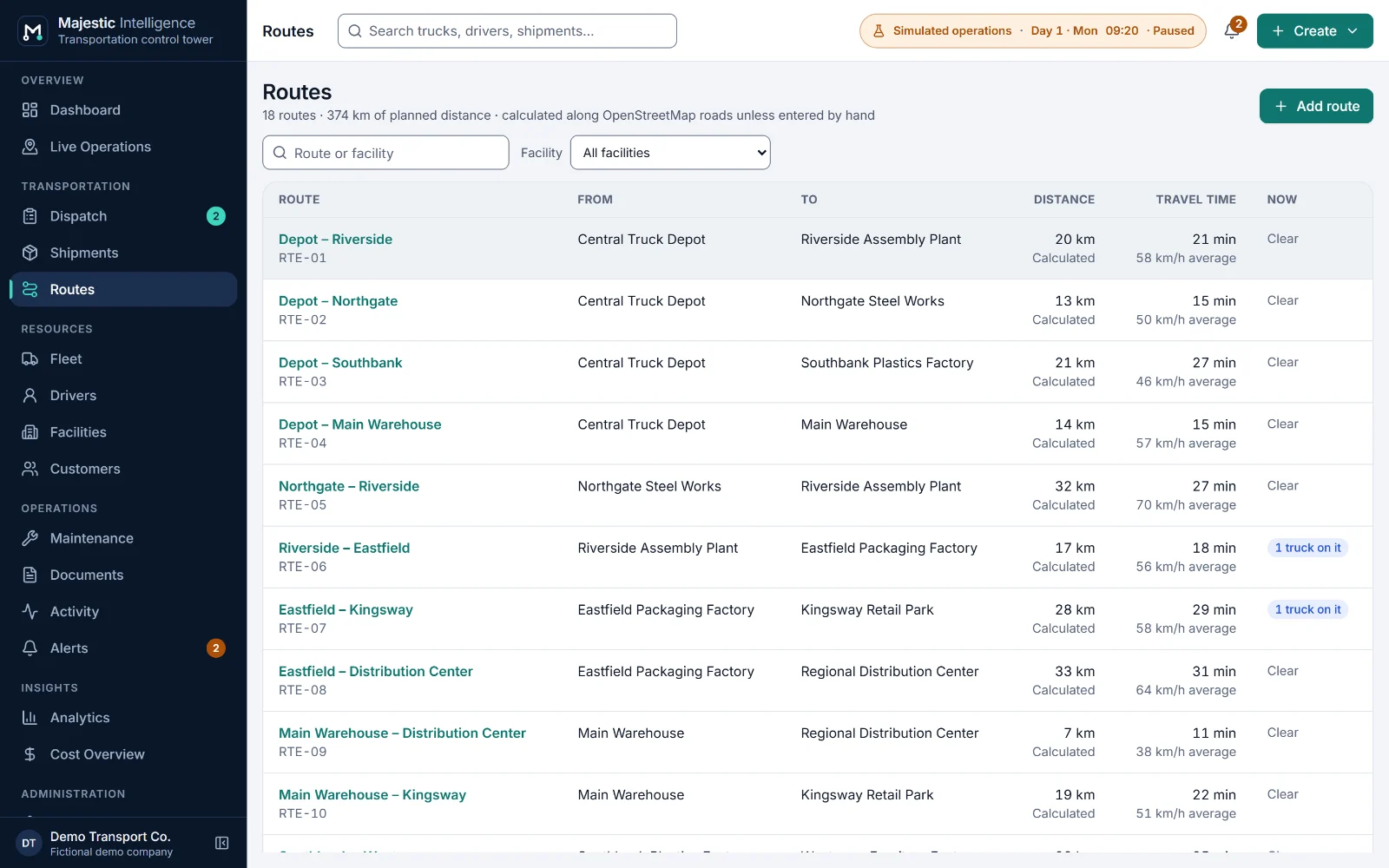
Place a facility by clicking the map, and Majestic Intelligence connects it to the nearest suitable road. Routes get a calculated distance and driving time that the operator may override, and both are labelled wherever the route appears.
What it does
Each of these is on a screen of the working demo. Open it to try it on the simulated operation.
Factories, warehouses, distribution centers, truck depots and customer sites, placed by clicking the map, with docks, parking bays and working hours (for reference).
Each site is joined to the nearest road a truck could turn into, never a freeway or a ramp. Beyond 400 m the access is called approximate; with no road within 1.5 km, the form says so.
Distance and driving time calculated in the browser along the bundled road network at typical truck speeds per road type, or entered by the operator.
Contact, phone, email, city and usual facilities. Every shipment belongs to one customer.
Trucks reserve a dock on arrival or wait in the yard, first come first served, and dock activity shows on each facility.
In the "Inland Empire with simulated roadworks" scenario (chosen in Settings), clearly labelled simulated roadworks slow part of a route, re-plan the trucks driving it, and show as a dashed amber stretch on the map.
Benefits
More features
A dashboard of what needs a decision, and every truck and facility on a satellite map or a 3D view of the operation.
A dispatch board by stage, suggested trucks with the reasons in words, and planned dispatch by rules you can read.
Every shipment with its timeline, priority and deadline, and its bill of lading and proof of delivery tracked to the end.
See it working
Open the working product: trucks loading, on the road and unloading across California’s Inland Empire. No sign-up; nothing connects to real systems.
Built by METHODSS
METHODSS adapts Majestic Intelligence to your fleet, sites and rules and connects it to your data, or designs and builds new logistics software with you.